Waukegan Municipal Beach
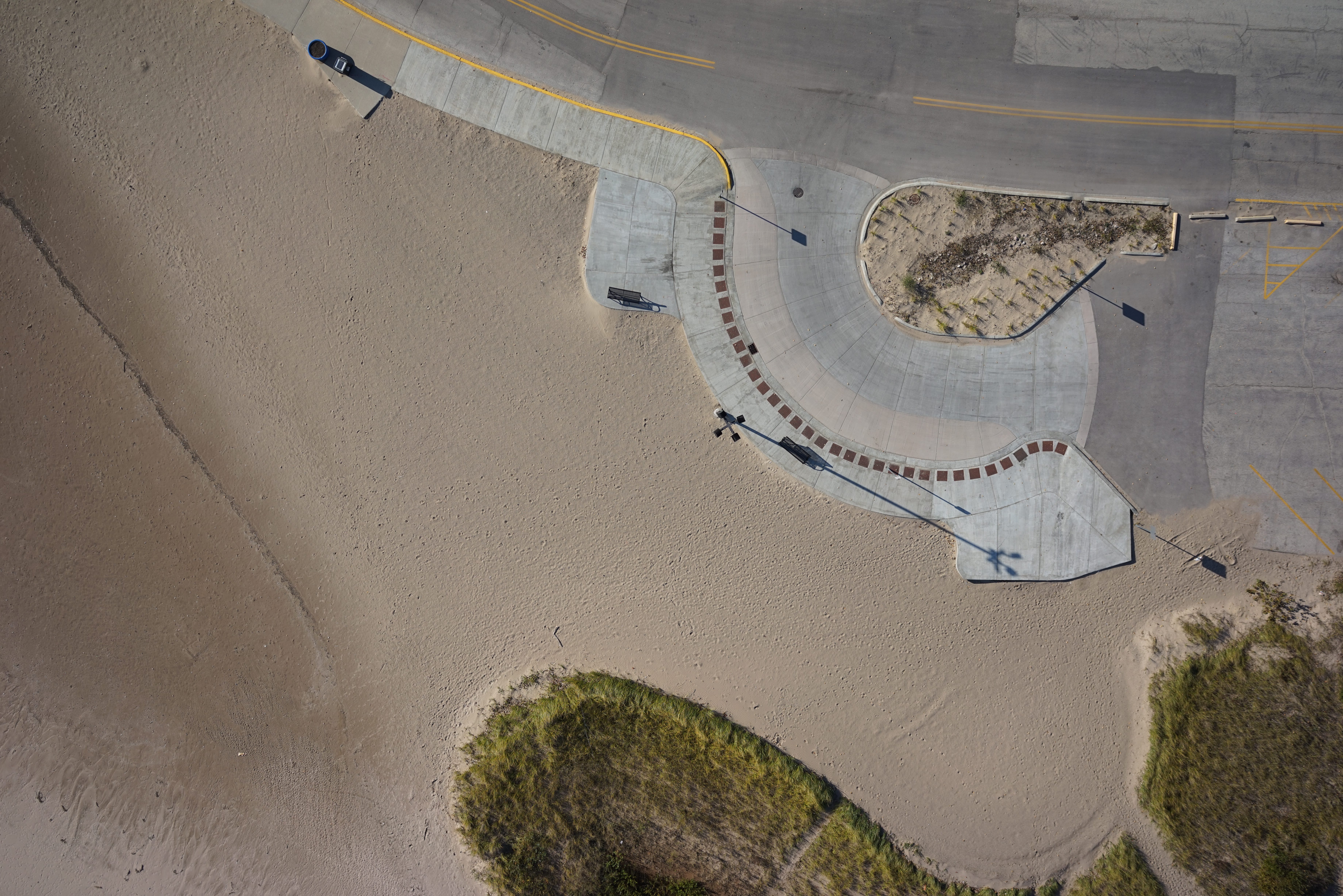
In the fall of 2017 the City of Waukegan Engineering Department reached out to Bleck to complete a plat of survey with topographic information of their municipal beach. The survey encompassed over 60 acres of land and was done on International Great Lakes Datum 1985 (IGLD85). Bleck Engineering also captured aerial imagery of the entire property to aid in future planning for the city.
In the fall of 2017 the City of Waukegan Engineering Department reached out to Bleck to complete a plat of survey with topographic information of their municipal beach. The survey encompassed over 60 acres of land and was done on International Great Lakes Datum 1985 (IGLD85). Bleck Engineering also captured aerial imagery of the entire property to aid in future planning for the city.
Project Gallery


Project Location
Waukegan, IL